- Home
- Books
e-Books
All EAGE book titles are available in the Epub format. For reading Epub there are all kinds of e-readers available. See this link for Windows or this link for Mac for good advice on what e-reader to choose.
Please be aware that EAGE no longer sells print book copies and that e-books cannot be returned to the EAGE Bookshop.
21 - 40 of 42 results
Filter by Publisher:
- European Association of Geoscientists & Engineers [42] http://purl.org/dc/terms/isPartOf http://instance.metastore.ingenta.com/content/eage
Filter by Year:
- 2023 [1] http://pub2web.metastore.ingenta.com/ns/yearOfPublication 2023
- 2020 [2] http://pub2web.metastore.ingenta.com/ns/yearOfPublication 2020
- 2019 [1] http://pub2web.metastore.ingenta.com/ns/yearOfPublication 2019
- 2018 [4] http://pub2web.metastore.ingenta.com/ns/yearOfPublication 2018
- 2016 [1] http://pub2web.metastore.ingenta.com/ns/yearOfPublication 2016
- 2015 [3] http://pub2web.metastore.ingenta.com/ns/yearOfPublication 2015
- 2014 [7] http://pub2web.metastore.ingenta.com/ns/yearOfPublication 2014
- 2013 [4] http://pub2web.metastore.ingenta.com/ns/yearOfPublication 2013
- 2012 [3] http://pub2web.metastore.ingenta.com/ns/yearOfPublication 2012
- 2011 [2] http://pub2web.metastore.ingenta.com/ns/yearOfPublication 2011
- 2010 [7] http://pub2web.metastore.ingenta.com/ns/yearOfPublication 2010
- 2009 [1] http://pub2web.metastore.ingenta.com/ns/yearOfPublication 2009
- 2008 [3] http://pub2web.metastore.ingenta.com/ns/yearOfPublication 2008
- 2007 [3] http://pub2web.metastore.ingenta.com/ns/yearOfPublication 2007
- More Hide
-
-
Lower Triassic to Middle Jurassic Sequence of the Arabian Plate
Editor: Michael C. PöppelreiterLanguage: EnglishPublication Date: January 2018More LessA distinctive signature of the Lower Triassic to Middle Jurassic succession of the Arabian Plate is, within the exception of the uppermost Khuff Formation and equivalents, the scarcity of grainstone intervals. . Typically, the limited number of grainstone intervals present are composed of ooids, peloids and oncoids. Microbial laminites can be common. These geological characteristics reflect the proximity of two paleoecological crises: the End Permian and the End Triassic mass extinctions, which led to significant faunal reductions close to these events. However, fauna, notably microfossils and ammonoids, is present in much of the succession in suitable sediment and permits the biostratigraphic calibration of 3rd order sequence-based correlation.
The interval described in this book starts at the base of the Lower Triassic succession at an age of ~ 250 million years with the lowermost lithostratigraphic unit, the upper Khuff Formation and its equivalents. The interval ends at the top of the Middle Jurassic Callovian stage, with an ago of ~ 163 million years, lithostratigraphically represented by the Tuwaiq Mountain Limestone Formation and its equivalents. Thus, the interval discussed spans over 80 million years, recorded by a rock succession ranging from a few hundred to up to 2000 meters in thickness.
Lithologically, the Lower Triassic to Middle Jurassic sequence is dominated by carbonate deposits, which are interbedded with a significant amount of siliciclastic beds. Fine-grained carbonates and mostly low-energy clastics create a unique signature for this geological interval. This is in stark contrast to the thick stacks of grainstone in the Khuff Formation below and the Arab Formation above. Evaporites are a notable feature of Middle and Upper Triassic deposition. Their distribution is often restricted to intraplate sags. The Lower Triassic to Middle Jurassic sequence represents the drift stage of the Neotethys Ocean, with subtle differential tectonics. Re-activated basement structures form several intraplate sags that can contain organic-rich sediments and can be fringed by narrow grainstone belts. The notable exception to this general tectonic quiescence is during the latest Triassic to earliest Jurassic, which was marked by regional uplift, a widespread hiatus and sheet-like sandstones fringing uplifted areas. This uplift may have created subcrop traps in some areas.
The volumes of hydrocarbons stored in this interval represent just a small fraction of the total reserve present across the Arabian Plate. However, the interval is underexplored and warrants further attention, especially if charge risk and reservoir quality risks can be better understood.
This EAGE special volume invites the reader to explore this poorly-known stratigraphic interval with fascinating insights from the microscopic to the basin-wide scale.
-
-
-
Microseismicity: a tool for reservoir characterization (OTE 2)
By S.A. ShapiroLanguage: EnglishPublication Date: January 2008More LessThe book ‘Microseismicity: a tool for reservoir characterization’ describes the principles of seismicity-based reservoir characterization and the main quantitative features of different types of induced microseismicity. It addresses different aspects of reservoir characterization and hydraulic fracturing and also the magnitude distribution of seismicity induced by borehole fluid injections.
-
-
-
Numerical Earth Models (EET 3)
Language: EnglishPublication Date: January 2008More LessIn this book the main problems related to the construction of an Earth-Model are presented and discussed. The first three chapters are dedicated to the classical methods that can be used to build numerical models, in particular, the author proposes:
– some of the classical modeling techniques used in Computer Aided Design (CAD) to model surfaces and their inadequacy for modeling complex geological objects, in particular:
– classical interpolation techniques used to model surfaces;
– topological models used to describe the connections between surfaces and volumes;
– an overview of geomodeling methods dedicated to the discrete modeling of geological objects, in particular:
– the Discrete-Smooth-Interpolation method (DSI);
– meshing techniques to model surfaces and grids;
– a presentation of the classical ?Shared-Earth-Model? (SEM) paradigm consisting in a Structural-Model (SM) plus a Property-Model (PM): SEM = SM + PM
– a discussion concerning the problems raised by the (in) compatibility between the Structural-Model (SM) and the Property-Model (PM).
-
-
-
Operational Geomechanics
Language: EnglishPublication Date: January 2018More Less“OPERATIONAL GEOMECHANICS” is a new concept coined by the author. It encompasses all aspects of rock stress and rock failure in the lithosphere, both artificially induced and naturally occurring. It applies to a full range of depths from surface/near surface to extremely challenging depths and environments.
Thus, it presents the principal tools and tests relevant to the full array of geomechanical applications for assessing and accessing the Earth’s energy, mineral and water resources, as well as for environmental probing, conservation, natural hazards, and waste disposal. As such the book is a challenge to the traditional approach of compartmentalising geomechanics into discrete topics and instead presents a wholistic geomechanical workflow involving:
1. The characterization of the mechanical and stress properties of the rock mass targeted in environmental, engineering and energy operations of human activities and natural hazards such as earthquakes.
2. The timely prediction of instability risks to both infrastructure and drill holes associated with the above
activities.
3. Recommending, designing and conducting preventative precautions for the identifiable instability risks, and remedial steps to mitigate and/or stop subsequent instability damage.
The ultimate objectives of OPERATIONAL GEOMECHANICS are saving time, costs and lives, and in that context, the book discusses the building blocks of the topic in terms of: definitions of geomechanical/rock mechanical parameters; tools; analysis; and interpretations utilized particularly in operations involving drilling/boring operations relevant to all the above engineering, energy and environmental applications. In the final part of the book the
author gives examples of key drilling-related applications.
The book is enriched by the author’s industrial experience which spans more than three decades and will be a suitable text book for undergraduate and graduate students and a practical guide to professionals and managers alike working on projects for which operational geomechanics plays a vital role.
-
-
-
Permo-Triassic Sequence of the Arabian Plate
Editor: Michael C. PöppelreiterLanguage: EnglishPublication Date: January 2013More Less‘Permo-Triassic Sequence of the Arabian Plate’, edited by Michael Pöppelreiter, is based on the findings of an EAGE organized workshop held in Kuwait on the stratigraphy, reservoir and exploration techniques of the Arabian Khuff formation. The volume portrays the Khuff formation, which stretches across six countries, from an integrated petroleum- systems perspective: source, reservoir and seal across the platform from margin to open marine environments.
The special publication was written by 64 authors and co-authors, from 17 nations across three continents, affiliated to industry and academia. The Khuff is portrayed hierarchically from basin, play, environment, body and grain scale in 15 chapters on 400 pages with emphasis on 229 high-quality, full-colour figures.
The publication emphasizes the importance of subtle tectonics on all elements of the petroleum system. For those who want to find out more about the formation, the book has a contacts directory of Khuff specialists on different subject matters.
-
-
-
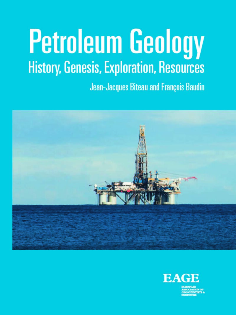
Petroleum Geology
Authors Jean-Jacques Biteau and François BaudinLanguage: EnglishPublication Date: January 2019More LessHydrocarbons (petroleum and gas) result from the transformation of organic matter within sedimentary rocks. Three conditions are necessary for an hydrocarbon accumulation to be formed: the presence of a source rock in which, if present, the organic matter will be transformed; the existence of reservoir rocks in which hydrocarbons will migrate and evolve; the presence of traps in which oil and gas will be accumulated and concentrated.
This book covers the spectrum of petroleum geology from the initial sedimentology to the economic aspects of estimations of resources and reserves on a planetary scale. It includes the study of the migration of fluids in the sediment through exploration methods, the exploitation of the accumulations and the typology of oil fields.
The book is addressed to master’s degree students, petroleum exploration professionals wanting to update their know-how and knowledge skills.
-
-
-
Principles of Seismic Velocities and Time-to-Depth Conversion
Language: EnglishPublication Date: January 2014More LessDespite its fundamental importance for acquiring an accurate picture of the subsurface, the topic of time-to-depth conversion on the basis of true propagation velocities has never been addressed in the form of a comprehensive, dedicated book. The present book has long been overdue for bridging this obvious gap in geoscience. Geophysicists proficient in data processing fully appreciate that depth imaging, despite the excellence achieved in data quality and lateral positioning, does not amount to true or accurate depth conversion. This is because modelling “velocities” in processing (described in the book as “pro-velocities”) can often be quite different from the actual propagation velocities.
The many forms of velocities, their interrelationships, their derivation, their assessment and the various factors that could affect their stability and accuracy, are all thoroughly covered. Common misconceptions are brought to notice. The main thrust is for the use of these velocities for time-todepth conversion. Extensive details of depth conversion procedures are established, together with velocity models, each to suit the various depth conversion situations arising in practice. Factors affecting depth conversion results and estimation of the associated uncertainty are extensively covered. Clarity and simplicity of presentation and practical applicability are a prime consideration. Demystifying some topics that are vague to a majority of geoscientists (e.g. anisotropy) also receives ample attention.
The book is written for the interpretation geophysicist working in exploration and development, for the seismic processor seeking a wider perspective on the quality of output and on the provision of the data to help the “frontline” geoscientist, for the geologist using geophysical methods as a tool at various levels of detail in the evaluation of the subsurface, and for the geoscientist at large.
-
-
-
Recommendations for the Safety of People and Instruments in Ground-Penetrating Radar and Near-Surface Geophysical Prospecting
Editor: Raffaele PersicoLanguage: EnglishPublication Date: January 2015More LessThis book offers an in-depth overview on the risks associated to Ground-Penetrating Radar (GPR) and Near-Surface Geophysical Prospecting, providing the reader with practical recommendations for the safety of people and instruments.
The book stems out from the European Cooperation in Science and Technology (COST) Action TU1208 “Civil Engineering Applications of Ground Penetrating Radar” (www.GPRadar.eu). It also benefited from the significant contribution of renowned experts not involved in the Action.
Among the main topics dealt with in the book, the reader will find:
– general recommendations for a safe prospecting and minimal safety equipment to be brought in the field;
– specific advice for experimental campaigns carried out in challenging environmental situations;
– appropriate precautions related to specific kinds of GPR applications;
– dangers associated to electromagnetic emissions and European regulations for GPR manufacturers and end-users.
The book includes a short medical first aid guide as well, which is specifically conceived for near-surface geophysical prospecting. Suggestions for correct use and safe transport of the equipment are finally provided.
-
-
-
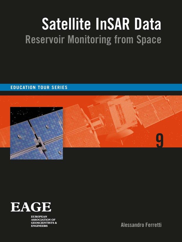
Satellite InSAR Data
Language: EnglishPublication Date: January 2014More LessSatellite radar data for surface deformation monitoring are gaining increasing attention, and not only within the oil and gas community. They provide a powerful tool for remotely measuring extremely small surface displacements over large areas and long periods of time, without requiring the installation of in-situ equipment. However, apart from remote sensing and radar specialists, only a relatively small number of geoscientists and engineers understand how a radar sensor orbiting the Earth at about 7 km/s from 700km above the Earth’s surface can actually measure ground displacements of a fraction of a centimetre.
This book provides a step-by-step introduction to satellite radar sensors, SAR imagery, SAR interferometry and advanced InSAR techniques. Rather than a tutorial for remote sensing specialists, the book starts from very basic concepts and explains in plain language the most important ideas related to SAR data processing and why geoscientists and engineers should take a vested interest in this new information source.
-
-
-
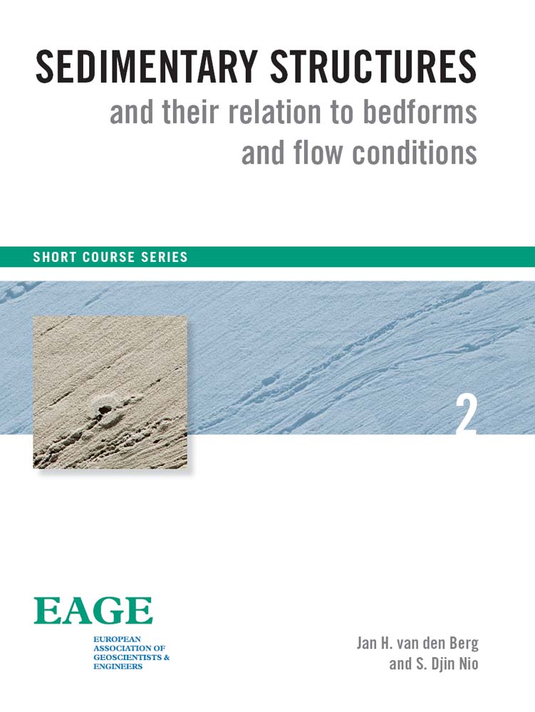
Sedimentary Structures
Authors Jan H. van den Berg and S. Djin NioLanguage: EnglishPublication Date: January 2010More LessSedimentary structures that show up in outcrops and cores tell us about physical, biological and sometimes also chemical conditions at the time they were formed.
Varying hydraulic or aerodynamic conditions result in assemblages of structures that often bear diagnostic features of sedimentary environments. Therefore an understanding of the origin of sedimentary structures and their assemblages is a prerequisite for sedimentologists and petroleum geologists involved in core description and interpretation.
The main objective of this book is to bring together the present basic knowledge on the relation between sedimentary structures, bedforms and hydraulic conditions. The book is part of post-graduate Short Courses in Advanced Sedimentology and Stratigraphy for the petroleum industry offered by ENRES International. In these courses much attention is given to the recognition of sedimentary environments from diagnostic features of sedimentary structures and assemblages of structures. For this purpose practicals are given using a selection of lacquer peels and cores representing typical fluvial to estuarine, coastal and eolian environments. This material including its interpretation is published as a regularly updated stand-alone document that can be obtained from ENRES.
One of the pioneering publications on this subject was a series of SEPM symposium papers published in 1965 (Middleton, 1965b). A more comprehensive publication on sediment movement by fluid flow and the resulting sedimentary structures was followed in 1972 (Blatt, Middleton and Murray, 1972). After that many excellent publications and textbooks were published (e.g. Allen, 1984, 1985; Bridge and Demicco, 2008; Collinson and Thompson, 1989; Harms et al., 1982; Hs?, 1989; Leeder, 1999; Reineck and Singh, 1980). These publications are partly covering a much wider scope as presented in this book, but are at some points not going into the desired details and are partly outdated.
We have no intention to offer a new comprehensive textbook. The main goal of this book is to introduce the terminology and fundamental concepts that are necessary for the description and interpretation of the hydraulic background of sedimentary structures in siliciclastic deposits. Another objective of this book is to put this topic within the newly developed framework of modern stratigraphy (e.g. sequence stratigraphy and climate stratigraphy). Also some important new insights from recent research at the University of Utrecht and unique data of sedimentary structures from outcrops up to 15m below mean sea level have been added. A specially-designed Core Simulation software has been developed in cooperation with Statoil which will be used during the course and the practicals.
-
-
-
Seismic Fracture Characterization
Authors Enru Liu and Alex MartinezLanguage: EnglishPublication Date: January 2012More LessDuring the last three decades, seismic anisotropy has evolved from a purely academic research topic into applications in the mainstream of applied geophysics. Today, nobody doubts that the earth is anisotropic and most (if not all) hydrocarbon reservoirs are anisotropic. Since shale accounts for 70% of sedimentary basins and fractures exist in all reservoirs, seismic anisotropy may be even more extensive than we think. Taking anisotropy into account in seismic processing has improved the quality of seismic images, even though it makes seismic processing more challenging since additional parameters are needed. At the same time, fracture characterization using the concept of seismic anisotropy has added value in reservoir characterization, reservoir management, and has increased recovery and optimized well locations. This book and the associated course provide an introduction to the fundamental concepts of seismic fracture characterization by introducing seismic anisotropy, equivalent-medium representation theories of fractured rock and methodologies for extracting fracture parameters from seismic data. We focus on practical applications using extensive field data examples.
Three case studies are included to demonstrate the applicability, workflow and limitations of this technology: a physical laboratory 3D experiment where fracture distributions are known, a Middle East fractured carbonate reservoir and a fractured tight gas reservoir. Our ultimate goal is to build discrete fracture network models incorporating all data. These models should not only be geologically consistent but also geophysically and geomechanically consistent, so that the models can be used to forecast the behaviour and performance of fractured reservoirs.
The EAGE’s Education Tour (EET) offers a one-day course delivered by renowned geoscientists at various locations globally. Accompanied by a comprehensive course book, it provides members and others with access to the latest developments in key topics in the Geosciences. The Tour has been a great success since its launch in 2006.
-
-
-
Seismic Geomechanics
Authors J. Herwanger and N. KoutsabeloulisLanguage: EnglishPublication Date: January 2011More LessThree-dimensional geomechanical models have seen a rapid increase in use by the oil and gas industry, with applications from drilling to reservoir management. Yet few university programmes include applied geomechanics as part of their curriculum. This course aims to fill this gap and presents currently available methods to build, calibrate and interpret 3D and 4D geomechanical models. The course participant will become comfortable with stress and strain tensors, understand the basics of deriving elastic and strength properties, learn how to use seismic data to build geomechanical models and understand the importance of calibrating geomechanical models with observations.
-
-
-
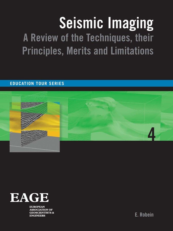
Seismic Imaging
Language: EnglishPublication Date: January 2010More LessThe book presents the various seismic imaging methods currently in use in the Oil and Gas industry in a unified and almost equation-free approach. Guided step by step through each method well illustrated by figures and examples, the reader will discover differences between time and depth imaging, how they impact the quality of the seismic image, the distinction between Kirchhoff, Gaussian Beam and other Beam techniques, principles of ray-based tomography and how it may be used after wave-equation methods, in what sense two-way Reverse Time Migration differs from one-way Shot Point migration, what are the emerging routes for migration velocity analysis, what can we expect from Full Waveform Inversion and at what cost, how 3D and wide azimuth acquisition impact imaging, and answers to many other questions.
-
-
-
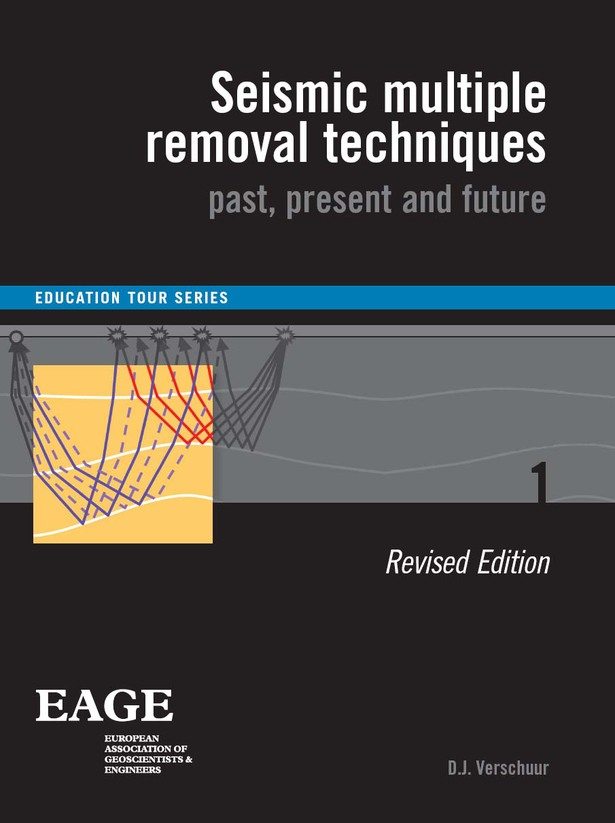
Seismic Multiple Removal Techniques
Language: EnglishPublication Date: January 2013More LessMultiple reflections have been a major problem since the beginning of seismic exploration. In the last five decades a range of methods have been developed to suppress these reflections and enhance the primaries. This book provides an overview of these techniques, starting with the deconvolution-based methods from the 1960s, via the move-out discrimination techniques of the 1980s and ending up with wave-equation based methods from the 1990s and their 3D extensions as developed in the 2000s.
Furthermore, the current challenges in multiple removal and their relation with seismic imaging and inversion are treated. Besides this overview, the book also discusses processing concepts that are required to better understand various technologies, such as high-resolution seismic data transforms (Fourier, Radon), adaptive filtering techniques, wave-equation based forward and inverse wave propagation and the processing of seismic data in different transform domains. The emphasis is not to thoroughly treat the mathematics but to present some understanding of the physical concepts behind each method, illustrated with clear examples.
-
-
-
Seismic Reservoir Characterization
Language: EnglishPublication Date: January 2007More LessIn this publication, Philippe Doyen reviews some of the most widely used workflows for constraining 3-D earth models with seismic data. They typically involve a sequential process where seismic data are first inverted to elastic properties. Inverted data are then depth-converted and transferred into the earth model framework, where the seismic attributes are used to guide the interpolation of reservoir properties between the wells.
Geostatistics provides a number of tools for this purpose, including generalized regression techniques such as cokriging and kriging with external drift, stochastic simulation with seismic constraints and geostatistical inversion. These techniques are reasonably well-established and their application can lead to significantly better constrained earth models. So what are the remaining challenges for seismic data integration in earth models? In particular, what are the main limitations or bottlenecks with current approaches that need to be addressed in order to make this integration more widely applicable? In the last few paragraphs, Philippe Doyen lists some of the future challenges and new directions in seismic earth modelling.
-
-
-
Seismic Surveillance for Reservoir Delivery From a Practitioner’s Point of View (EET 6)
Language: EnglishPublication Date: January 2012More LessTime-lapse seismic surveys or 4D seismic offers snapshots of a producing hydrocarbon reservoir and its surroundings and is the most common seismic surveillance technique in the oil and gas industry. New developments of this technology includes permanent seismic installations; observations of changes outside the reservoirs and a link to geomechanics and the use of passive recordings. In this book we are using examples from the Valhall field to illustrate examples of seismic surveillance that will include data examples from marine towed 4D, frequent surveying using permanently installed sensors, in-well recordings and analysis of passive data, including micro seismicity. Some of the historical 4D examples, an update on the state of use of permanent recordings systems are also discussed.
-
-
-
Seismic traveltime tomography for engineering and exploration applications
By Bodo LehmannLanguage: EnglishPublication Date: January 2007More LessTomographic imaging of seismic velocities is probably the most novel application of the seismic method to high resolution exploration and monitoring of the subsurface. It is a pleasure to make available a comprehensive state-of-the-art book giving an excellent overview of seismic tomography explaining the current status of the method, describing it and evaluating the possibilities and the potential for future developments.
The book covers a wide range of applications of seismic tomography in geotechnological and geoscientific investigations, in particular for engineering and exploration. The intent to be practical is well met with many field examples and problems, without neglecting the basic principles needed to understand the examples more deeply and to judge the quality of the imaging. A very comprehensive list of references to specific and general publications on the subject allows access to more detailed information.
Bodo Lehmann has succeeded very well in making seismic tomography understandable and useful to the geoscientific and geoengineering community and beyond. This is the most comprehensive book currently available on seismic tomography. It is suitable not only for professional geophysicists, geologists and engineers but also for study at the graduate level.
-
-
-
The Principles of Quantitative Acoustical Imaging
Authors Dries Gisolf and Eric VerschuurLanguage: EnglishPublication Date: January 2010More LessThis book presents a systematic approach to imaging of acoustic reflection measurements and the extraction of media property information from the image amplitudes, based on wave theory.
Although the approach is valid for a wide range of acoustical frequencies and applications, there is a bias towards seismic imaging, because imaging the earth is one of the most challenging of all acoustical imaging applications.
In addition, in oil and gas exploration and production applications the need to obtain quantitative information on the media properties of the object to be imaged is most strongly felt. However, the methods presented are equally valid for ultra-sonic non-destructive testing, or medical diagnostic applications.
The theory of acoustic wave propagation is presented, from the constituent equations Hooke and Newton, to the acoustic wave equation, to wavefield extrapolation and to extraction of image amplitudes. A feature of this book is the careful analysis of every step in these processes in terms of the linearity of the wavefields in the media property representation they are inverted for. Alternatively, the extrapolated wavefields can be inverted directly for the media properties. Towards the end of the book it is demonstrated that significantly higher resolution quantitative information can be obtained if the non-linearity is taken into account
-
-
-
Pre-Cambrian to Paleozoic Petroleum Systems of the Arabian Plate
Editor: Thomas B. van HoofLanguage: EnglishPublication Date: October 2023More LessThe Precambrium to Palaeozoic covers nearly 4 billion years of Earth’s history. In this period, the Earth evolved from a ball of condensed gas into a blue planet with oceans, mountains, and life quite similar to the planet we live on today. From the Late Precambrium to the Late Palaeozoic (the period covered by this book), the earth experienced episodes of mass extinction, glaciations, and extreme climate change. It is the period in which life truly established itself on the planet and started to become an important factor in the geological processes shaping our earth. The large variations in climate and environment of the Arabian plate during the Late Precambrium to the Palaeozoic left its imprint on the geology of this part of the world. From the Silurian Qusaiba hotshales in Saudi Arabia to the Permo-carboniferous glacigenic Al-Khlata formation of Oman, the palaeozoic of the Arabian plate encompasses a diverse geology and hence a wide variety in hydrocarbon play concepts. Wherein certain Arabian Gulf countries the Precambrium-Palaeozoic strata already contribute significantly to the production of hydrocarbons, and in other Gulf countries this is still a frontier area for exploration. Hence, in 2018 a workshop was organized in Oman on the topic of Precambrian to Palaeozoic hydrocarbon geology of the Arabian plate. This workshop brought together numerous experts on this topic. The idea behind the workshop was that it is essential to share cross-border knowledge to further establish successful future exploration campaigns in the region. This book focusses on the Late Precambrium to the Palaeozoic and contains a selection of papers that were presented during this workshop and cover a wide range of topics in the field of Precambrium-Palaeozoic exploration geology of the Arabian plate. The four chapters cover topics in the field of structural geology, sedimentology, (tectono-) stratigraphy, and unconventional targets. It provides a good overview of current developments in Precambrium-Palaeozoic geology of the Arabian plate.
-
-
-
Velocities, Imaging, and Waveform Inversion
By Ian F. JonesLanguage: EnglishPublication Date: January 2018More LessVelocities, Imaging, and Waveform Inversion - The evolution of characterizing the Earth’s subsurface is part of Ian Jones' EAGE Education Tour and will be a fusion of practical industrial elements, concentrating on the origin and nature of the geological complexities that give rise to imaging problems, as well as a physical (rather than mathematical) understanding of subsurface parameter estimation, and will also look at some possible future directions. The course is designed for: practising geoscientists who desire to better understand the principles and limitations of both current and emerging technologies involved in subsurface parameter estimation and imaging and geoscience students. Following this course, participants should ideally understand how contemporary velocity estimation methods work, and what approximations are involved in obtaining computationally tractable solutions.
In using sound waves to characterise the Earth’s subsurface, we can employ ray theory and/or wave theory, and both migration algorithms and parameter estimation schemes employ one or other of these theoretical descriptions. In this course, we will review the evolution of the industry’s approaches to building earth models via velocity estimation and imaging, outlining the evolution from ray tomography to full waveform inversion, and look towards the emerging possibilities for replacing imaging techniques with direct subsurface parameter inversion methods.
The approach will be mostly non-mathematical, concentrating on an intuitive understanding of the principles, demonstrating them via case histories, and will be divided into the following sections:
- Dealing with the near surface
- The effects of strong vertical velocity contrasts
- The effects of strong lateral velocity contrasts
- Waves versus rays - Model building using ray methods (tomography)
- Model building using wavefield extrapolation methods (FWI)
- Data examples and comparisons
- Future developments
The first three sections outline the nature of the problems we face when building images representing subsurface impedance contrasts, and the next three deal with the technology we deploy to address the problems. In addition, I have included three appendices to outline: the historical development of model building, anisotropy and pre-processing considerations for complex imaging. Several of the individual chapters build on a series of recent tutorial papers which I published in First Break. However, only the key points from these tutorial papers are included, so I refer readers to the original papers for more detail and/or a range of real data examples for each of their topics.
However, due to space and time constraints in the EET format, I have had to omit or limit coverage of various topics, including migration of multiples, Marchenko and inverse scattering series migration, joint migration-inversion, least-squares migration and uncertainty estimation.
-


