- Home
- Books
e-Books
All EAGE book titles are available in the Epub format. For reading Epub there are all kinds of e-readers available. See this link for Windows or this link for Mac for good advice on what e-reader to choose.
Please be aware that EAGE no longer sells print book copies and that e-books cannot be returned to the EAGE Bookshop.
1 - 20 of 42 results
Filter by Publisher:
- European Association of Geoscientists & Engineers [42] http://purl.org/dc/terms/isPartOf http://instance.metastore.ingenta.com/content/eage
Filter by Year:
- 2023 [1] http://pub2web.metastore.ingenta.com/ns/yearOfPublication 2023
- 2020 [2] http://pub2web.metastore.ingenta.com/ns/yearOfPublication 2020
- 2019 [1] http://pub2web.metastore.ingenta.com/ns/yearOfPublication 2019
- 2018 [4] http://pub2web.metastore.ingenta.com/ns/yearOfPublication 2018
- 2016 [1] http://pub2web.metastore.ingenta.com/ns/yearOfPublication 2016
- 2015 [3] http://pub2web.metastore.ingenta.com/ns/yearOfPublication 2015
- 2014 [7] http://pub2web.metastore.ingenta.com/ns/yearOfPublication 2014
- 2013 [4] http://pub2web.metastore.ingenta.com/ns/yearOfPublication 2013
- 2012 [3] http://pub2web.metastore.ingenta.com/ns/yearOfPublication 2012
- 2011 [2] http://pub2web.metastore.ingenta.com/ns/yearOfPublication 2011
- 2010 [7] http://pub2web.metastore.ingenta.com/ns/yearOfPublication 2010
- 2009 [1] http://pub2web.metastore.ingenta.com/ns/yearOfPublication 2009
- 2008 [3] http://pub2web.metastore.ingenta.com/ns/yearOfPublication 2008
- 2007 [3] http://pub2web.metastore.ingenta.com/ns/yearOfPublication 2007
- More Hide
-
-
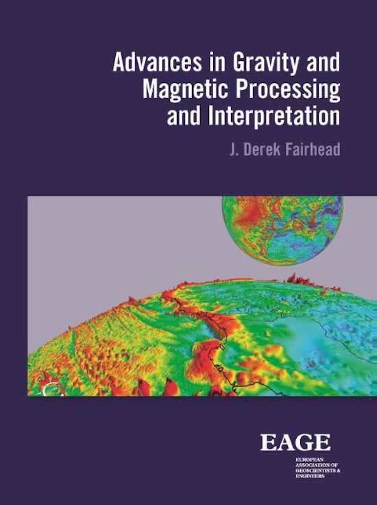
Advances in Gravity and Magnetic Processing and Interpretation
Language: EnglishPublication Date: January 2015More LessThis book results from over 40 years of teaching the subject at post graduate (Masters) level to geophysical exploration geoscientists. It provides an insight into the acquisition, advanced processing and interpretation of gravity and magnetic data used in today’s oil and mineral exploration industries. The book does not go into any detailed mathematical treatment of potential field theory which is more than adequately covered by other recently published text books, but adopts a more practical approach of how one processes and interprets gravity and magnetic profile and grid data to generate 3D structural depth maps.
Advanced processing and interpretation have evolved significantly over the last two decades. The traditional amplitude derivative methods are now augmented by powerful local phase and local wavenumber derivative methods, all of which are used to identify and map structural lineaments as well as providing accurate depth estimations using infinite and finite depth models.
In what one can call the post-Euler era, interpretation methods have evolved from generating clouds of Euler depth solutions to estimating depths of individual magnetic anomalies. Where sedimentary basins are at their deepest, there is often a sparsity of depth solutions but not magnetic data. Transforming the magnetic data into pseudo-gravity now provides a means of mapping the whole basement surface. The book draws extensively on collaborative works with Dr Ahmed Salem, other colleagues and research students via publications which are references both within the text and at the end of each section.
-
-
-
An Introduction to: Velocity Model Building
By Ian F. JonesLanguage: EnglishPublication Date: January 2010More LessThis book sets out to give the reader a non-mathematical understanding of the basic principles of migration and of building a velocity model of the earth’s subsurface. The intended readership includes anyone who has to work with, or to understand, how contemporary seismic images are created: what are the underlying principles and pitfalls? How is a velocity model typically built and what are the consequences of not getting it right?
Concepts such as uncertainty and non-uniqueness are discussed as are the ways in which these topics translate to risk-reduction and reliability in the final image. The different ways of representing a velocity model are reviewed as are the techniques used for picking velocity and anisotropy related information. A review of the principles of tomography is presented, to familiarize the reader with the techniques that underpin all contemporary velocity model update. Also, the physics behind anisotropy and its consequences for obtaining images in ?true? geological depth are discussed.
An historical overview of velocity model building techniques over the past 30 years is presented to give the reader a feel for how the black art of model building has evolved in tandem with the increase in computer power and the emergence of powerful interactive graphics, covering the evolution from a purely linear compartmentalized industrial process towards a fully interactive multidisciplinary approach to iteratively building a reliable subsurface velocity model.
The book concludes with a look at emerging and future trends: the promise of velocity-independent imaging and the potential of full waveform inversion.
-
-
-
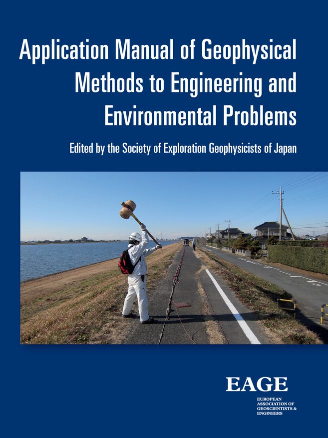
Application Manual of Geophysical Methods to Engineering and Environmental Problems
By T. AizawaLanguage: EnglishPublication Date: January 2014More LessThis book is a comprehensive manual of shallow geophysical surveys for engineering and environmental applications.
It describes details of applicability and limitation, field procedure, analysis and interpretation of geophysical methods in simple terms. Keep this manual on your desktop and refer to it from time to time to improve the quality of your work in construction engineering and environmental maintenance.
This manual of geophysical surveys describes the standard procedure of practice rather than the basic theories of geophysical methods. Its intention is to share our experience with young geophysicists who collect and analyze geophysical data and clients who use results of geophysical surveys. It describes standard operational procedure of data acquisition and analysis in each method to reach a sound interpretation of the data. It also includes a due consideration on performance efficiency, quality control and reporting. Geophysicists may refer to this manual in all the stages of a survey: data acquisition, processing, analysis and interpretation. To the clients of the survey, this manual may be particularly useful in understanding the surveys from planning to assessing the outcome: how data are presented.
-
-
-
Applications of Seismic Anisotropy in the Oil and Gas Industry (OTE 3)
Language: EnglishPublication Date: January 2009More LessThis book explains how geophysicists in the energy industry measure, interpret, and use seismic anisotropy.
The book is designed for geophysicists who want to enhance their understanding of the subsurface and learn about modern techniques for extracting more information from seismic data.
-
-
-
Basic Wave Analysis
Authors Enders A. Robinson and Tijmen Jan MoserEditors: Huafeng Liu, Alexey Stovas, Yunyue Li and Wei LiuLanguage: EnglishPublication Date: January 2020More LessWritten in three parts, Basic Wave Analysis provides the information required for understanding the fundamental aspects of the elaborate computer processing schemes prevalent in exploration geophysics. Part 1 addresses velocity analysis. The correct determination of velocity is the most important problem in seismic exploration, and an understanding of velocity analysis is a valuable asset for a geophysicist. Part 2 discusses raypath analysis. Raypaths provide a geometrical picture of how waves travel, so that a person can visualize raypaths in their imagination. Geometrical pictures are as important in seismology as they are in optics. Part 3 addresses wavefront analysis. A person cannot easily visualize traveling wavefronts in their imagination; however, a computer can follow their motion and give the geophysicist the final outcome. Knowledge of wavefront analysis helps a geophysicist understand many modern computer methods.
Alongside contemporary technical information, however, this book also serves to remind the readers of our pioneering ancestors of scientific research. Too often, the study of science pays minimal attention to the historical forbearers to whom we owe much. On the contrary, the stories of these important figures provide fascinating insight into the development of ideas which underpin our work today. Basic Wave Analysis was copublished with EAGE.
-
-
-
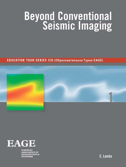
Beyond Conventional Seismic Imaging (OTE 1)
By E. LandaLanguage: EnglishPublication Date: January 2007More LessThis book deals mostly with different aspects of time imaging, wavefield parameter estimation and velocity model building. Evgeny Landa introduces some new ideas of non-specular seismic imaging and imaging without using velocity or wavefield parameters.
In this book Landa briefly describes the CMP method and NMO moveout correction. He discusses several non-hyperbolic generalizations of the NMO correction and he introduces two new imaging methods which are not based on the CMP observation geometry. He also introduces imaging based on scattering wavefield rather than on specular reflections. A special chapter will describe a new methodology integrating imaging and prestack data re-datuming to simplify the observed wavefield. At the end of the book a new heuristic method for imaging without knowledge or estimation of velocity information will be described.
-
-
-
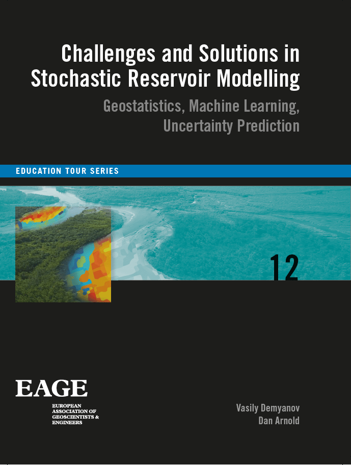
Challenges and Solutions in Stochastic Reservoir Modelling (EET 12)
Authors Vasily Demyanov and Dan ArnoldLanguage: EnglishPublication Date: January 2018More LessMany advances in stochastic reservoir modelling have been introduced in the past decade. Novel method of data integration and more accurate representation of geology have been developed with the advances in spatial statistics. However, integrated approach for predictive reservoir modelling still attracts continuous effort to manage reservoir decisions under uncertainty and make better use of the increasing amounts of data and domain knowledge accumulated in the field.
Many solutions to these challenges lie in the cross-disciplinary vision, where modern rigour of computer science and statistics brought together with core geological and engineering domain expertise and basic physical conceptual thinking.
This book aims to bridge across different fields — geostatistics, machine learning, and Bayesian statistics — to demonstrate the common grounds in solving challenging problems of uncertainty quantification, geological realism, and data integration in reservoir prediction. It presents an overview of key concepts and some of the basic and more advanced algorithms for reservoir modelling and uncertainty quantification. This book includes several practical examples to reinforce the learning outcomes. A tutorial on decision making under uncertainty provides a practical way to apply integrated thinking to a real field dataset.
-
-
-
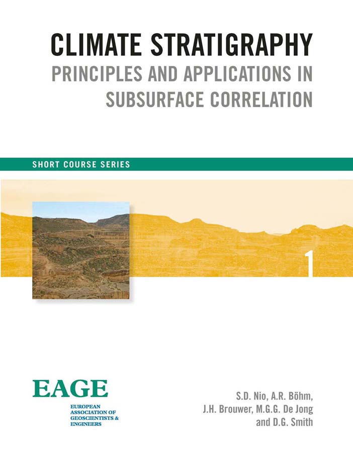
Climate Stratigraphy
Authors S.D. Nio, A.R. Böhm, J.H. Brouwer, M.G.G. De Jong and D.G. SmithLanguage: EnglishPublication Date: January 2014More LessOne of the most important steps in oil and gas is the construction of a near-synchronous high-resolution stratigraphic framework. This stratigraphic framework forms the basis in the search for additional potential reservoirs and especially in reservoir characterization. Many reservoir intervals are barren of fossils, and conventional stratigraphic methods often lack the required level of resolution. An alternative stratigraphic approach is to use the climate record stored in the sedimentary rock record and subsequently recorded by facies-sensitive wireline logs. The science behind this approach is climate stratigraphy, which is a relatively new discipline combining advanced numerical processing of conventional log data with the theory of climate-driven cyclicity in sedimentary depositional systems.
Extraction of the climatic signal from facies-sensitive wireline logs allows the construction of a high-resolution stratigraphic framework for both reservoir and regional scale correlation, more or less independently of other stratigraphic data. It is therefore a highly cost-effective and universally applicable method deserving of wider appreciation and use.
These course notes include a discussion on the theory of climate changes and its effect to sedimentary facies and its relation to the stratal pattern architecture in the subsurface. This is followed by an extensive explanation of spectral analysis of facies-sensitive wireline logs and the transformation of logs. These log transforms or spectral attribute curves are used in well correlations for the construction of a near-synchronous stratigraphic correlation framework. The book is highly illustrated and it includes several examples from clastic as well as carbonate reservoir correlations.
-
-
-
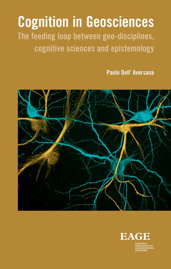
Cognition in geosciences
Language: EnglishPublication Date: January 2013More Lesshe work of geoscientists is generally addressed to solve practical problems, like for instance finding new hydrocarbon reservoirs or studying volcanoes. In these scientific fields, intuitions and qualitative analogies are equally important as the application of advanced technology and rigorous mathematical approaches.
The thesis of this book is that the activity of geoscientists can also contribute to illuminate fundamental aspects and open questions of epistemology and cognition. How do geologists and geophysicists think, manage information, develop knowledge and communicate their ideas? What is a good model, a valid theory, a useful methodology? What is the meaning of ‘true’ and ‘false’ in their field of study? What is creativity? Is it a property of exceptional individual minds or a dialectic relationship between entire communities and their ecosystem? Or is it the combination of both? Is it possible to promote individual and team creativity? How? Can we find an aesthetic value in the daily work of geoscientists?
All the above challenging questions are investigated in this book using a multidisciplinary approach. The discussion starts from the geosciences and continues with stimulating incursions in the field of ancient and modern philosophy, epistemology, cybernetics, Chaos theory, neurobiology, psychology and art. The objective is to highlight some unexplored links between cognition, philosophy of science and Earth disciplines, motivating the study and the application of all these fields observed from an unusual and inedited point of view.
Despite the intrinsic complexity of the subject, this book is addressed to a large audience. This includes students, researchers, professionals and all those who are interested in exploring the cognitive and epistemological fundamentals of the Earth sciences. It can be useful also for managers leading creative teams, dealing with complex information, developing innovative products, services and ideas. Finally philosophers of science and cognitive scientists can find practical examples in this book related to important aspects of epistemology and human cognition.
-
-
-
Digital Geology
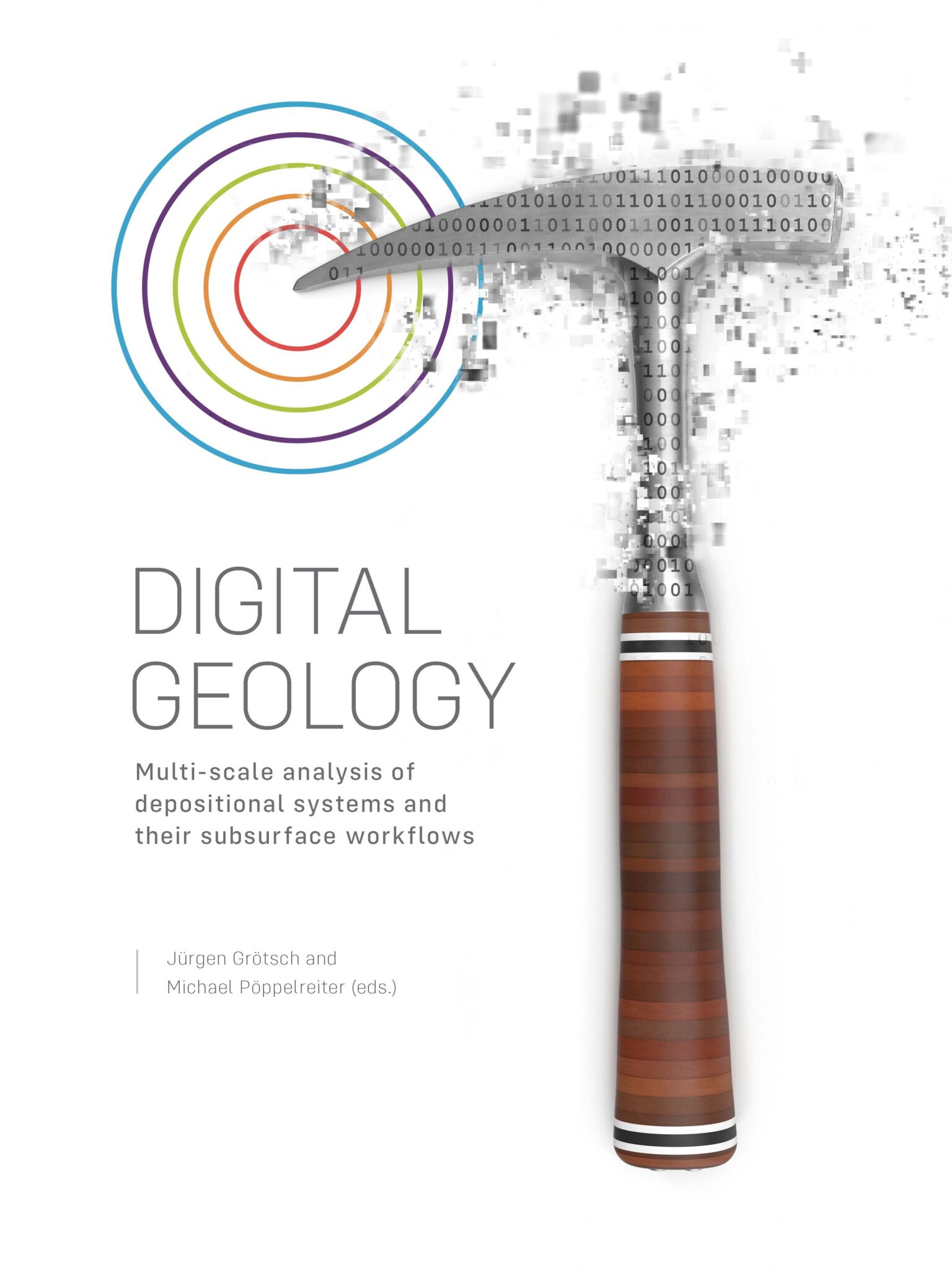
Editors: Jürgen Grötsch and Michael PöppelreiterLanguage: EnglishPublication Date: January 2020More LessThis volume documents part of the Shell Digital Geology project that has demonstrated how you can use digitalisation and its many flavours to your benefit for subsurface characterisation. Conveying complex geological concepts, business workflows used in Exploration, Development and Production and their links to decision-making has never been more transparent and easier to explain than via the Digital Geology exhibition and its associated learning nuggets. The novel set-up allows communicating to a wide range of audiences in an interactive and exciting way how geoscientists and engineers are dealing with developing an understanding of the subsurface and how such knowledge is used in the life cycle of subsurface projects. Therefore, the concepts behind Digital Geology can be applied in many ways, be it for hydrocarbon exploration and development, carbon capture and sequestration, geothermal energy or water resource management.
A deep knowledge of the subsurface geology is key for the success of our societies. To communicate this within them and within the geoscience and engineering communities will be equally important when it comes to providing future solutions for the energy transition. This transition will only work if we manage to translate workflows initially developed for hydrocarbons, and presented in this book, seamlessly into next-generation, decentralized energy solutions. Such will involve hydrogen storage, sequestration of green house gases as well as shallow and deep geothermal resources – our next challenge.
-
-
-
EL ORO NEGRO (The Black Gold)
Language: EnglishPublication Date: January 2014More LessThere has never been a lack of oil in the world. By using advanced extraction methods and with higher oil prices, economically accessible reserves are increasing. Because of the new technologies, which I discuss in detail in this book, these reserves continue to increase. Up to now, an average of 20 to 30% of the original oil present in the ground is recoverable. This percentage could rise to 50 to 60%. Production from structures that were previously unproductive is now and continues to become possible. This will lead to hundreds more years of oil extraction.
This book is about oil. But gas reserves (the invisible gold) have also increased sharply, in part due to new technologies, and have more than doubled since 1980 with an average increase of 3% per year. This will provide 253 years of production at current production levels.
It should also be mentioned that this doesn’t take into account new future discoveries and adjusted reserves, which there are sure to be.
-
-
-
Elements of Mathematical Sedimentary Geology: the GeoChron Model
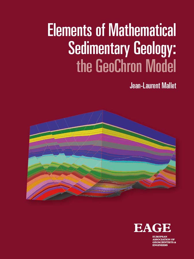
Language: EnglishPublication Date: January 2014More LessThe purpose of this book is to offer a mathematically well-defined unified framework to model sedimentary terrains. The core of this framework, named ‘GeoChron’, consists of a curvilinear coordinate system (u,v,t) which superimposes on the rectilinear coordinate system (x,y,z) commonly used to locate particles of sediment in the subsurface. For each particle of sediment observed today at location (x,y,z), coordinate (t) represents the geologicaltime (‘Chron’ in GeoChron) at which this particle was deposited whilst (u,v) represent the paleo-geographical coordinates (‘Geol’ in GeoChron) of this particle when it was deposited.
The u (x,y,z), v (x,y,z) and t (x,y,z) functions link the geological space (x,y,z), as it is observed today, to the depositional-space (u,v,t) and the ‘uvt-transform®’ thus defined plays a central role in using GeoChron to model the subsurface. In the (u,v,t) space, the image of each horizon is a horizontal plane where seismic attributes are easier to interpret and where reservoir properties are more accurately modeled.
The first part of this book is dedicated to a theoretical presentation of the GeoChron model. The second part presents applications of this model such as seismic interpretation, fault property modeling, fractured reservoirs characterization, geometrical uncertainties, property modeling, paleo-bathymetry estimation and permeability upscaling. To make this book ‘self sufficient’, the third part consists of annexes presenting the notions of tensors, differential geometry and Discrete Smooth Interpolation (DSI).
-
-
-
English-Russian and Russian-English Dictionary of Exploration Geophysics
Editors: Ilya Tsvankin and Yuri SavostyanovLanguage: EnglishPublication Date: January 2008More LessThis is a substantially revised and enlarged version of the Russian-English Dictionary of Exploration Geophysics. It contains about 15,500 terms used in seismic, electrical, gravity, magnetic and radioetric prospecting, logging and remote sensing. Also included are terms from geology, mathematics and computer science frequently used by geophysicists.
-
-
-
Environmental Geophysics (EET 7)
By Peter StylesLanguage: EnglishPublication Date: January 2012More LessThis is an outward facing book for people who need to understand Geophysics because it can solve the problems they regularly encounter and help to deliver their optimal geotechnical solution, proved by the essential, but last to be applied, intrusive investigation. It may, of course, be of significant use to students and geophysical practitioners as it contains a wealth of case studies kindly provided by friends, colleagues and collaborators.
The people to whom this book is addressed do not require a great understanding of the mathematical basis of geophysics but do need to understand the physical principles, what information can be gleaned, the limitations and boundaries of interpretation and especially how we can combine techniques in an integrated way to solve subtle, complex and critical problems which one technique alone cannot solve.
-
-
-
From Seismic Interpretation to Modelling and Assessment of Oil and Gas Fields
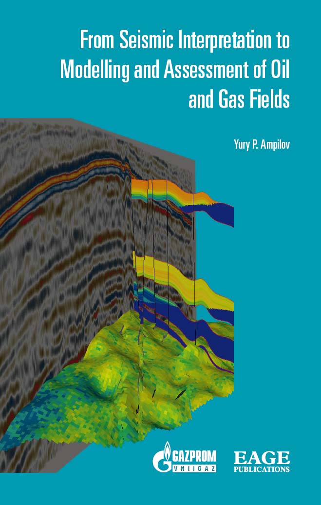
Language: EnglishPublication Date: January 2010More LessIn this publication the author pays special attention to the cross-disciplinary problems of the geosciences: seismic processing and interpretation, geological and hydrodynamic modelling and he analyses the contradictions of the applied methods. The author states that narrow specialization in geosciences has hindered unbiased subsurface investigation. There is a need for new specialists who are able to integrate knowledge from the different fields.
The book provides critical but unbiased analysis of the interpretation possibilities of seismic exploration when forecasting rock properties. Moreover, compared to the Russian version, this edition gives a more extended analysis of seismic inversion algorithms. This book will be useful for geologists, geophysicists, engineers involved in the development of hydrocarbon fields and other, cross-disciplinary specialists.
-
-
-
Full Waveform Inversion in an Anisotropic World (EET 10)
Language: EnglishPublication Date: January 2016More LessWhy full waveform inversion? Is not imaging (at a very reduced cost) enough? Well, a simple visual characterization depicting the difference between what the two approaches bring to the table can be realized using the common street artist pencil and brush. While imaging provides us with what we could describe as a pencil sketch of the Earth’s content, outline its complications, FWI fills in the colours, with a more in depth description and clarity to the Earth’s picture. While a pencil sketch may, depending on the pencil (or the frequency), provide a map of the major elements in the drawings, FWI provides colours, usually with definite crisp borders between the colours, reflecting the high resolution nature of the technique.
-
-
-
Geo-English
Authors Nikolay Yakymchuk and Victoria KaliuzhnayaLanguage: EnglishPublication Date: January 2010More LessThe aim of the book is the development of skills in independent reading / translation into Russian of English scientific texts to get a deeper insight into the information they convey. The authors propose an algorithm of interpreting and analyzing the grammatical structures that present particular difficulties in their identifying, understanding and translating into Russian. The systemic approach to participial, gerundial and infinitival constructions greatly facilitates the process of learning. Special attention is also given to the functional peculiarities of modals and passive and emphatic structures.
For students, postgraduates and scientists in geology and geophysics, as well as those who strive to improve their practical skills in understanding and translating scientific literature from English into Russian.
-
-
-
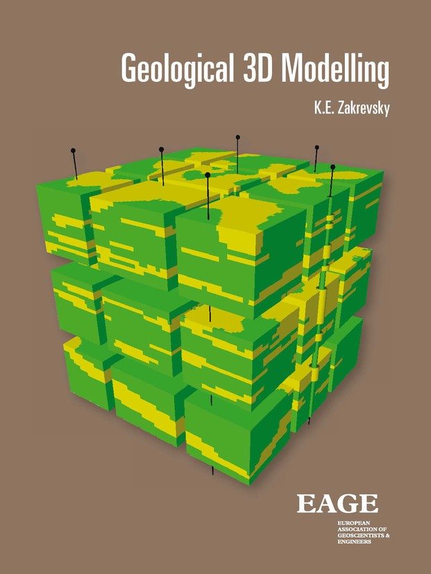
Geological 3D Modelling
Language: EnglishPublication Date: January 2011More LessThe problems of three-dimensional computer models of geological oil and gas fields are discussed. Methodological and technological approaches to model creation in the different stages of modelling are described taking into account the exploration maturity, amount and quality of the initial geological and geophysical data.
Different aspects of building the models are explained with a large number of illustrative material. The results of building the models for numerous hydrocarbon fields in the different software systems are presented.
The book will be interesting to professionals of the companies involved in building geological models of oil and oil and gas fields and also for the students and high school graduates with a specialization in petroleum and geology.
-
-
-
Gravity and Magnetic Methods in Mineral and Oil & Gas Exploration and Production (EET 11)
Authors Yaoguo Li and Richard KrahenbuhlLanguage: EnglishPublication Date: January 2015
-
-
-
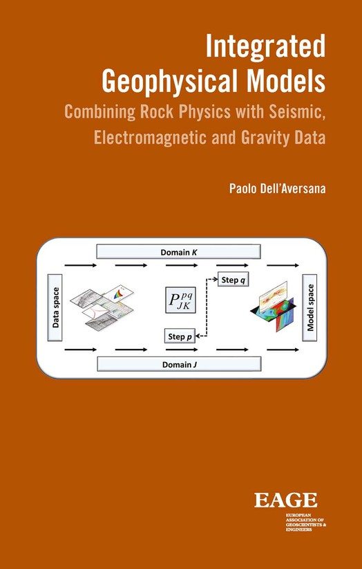
Integrated Geophysical Models
Language: EnglishPublication Date: January 2014More LessThe growing interest for electromagnetic and gravity methods, together with the availability of high quality seismic data, justifies the development of efficient methodologies for combining heterogeneous geophysical information into multi-parametric models. This book discusses different approaches for building integrated geophysical models using seismic, electromagnetic and gravity data.
The book will focus mainly on land and offshore geophysical data acquired at the surface. However, also borehole data will be considered as a fundamental support for geophysical integration. Integrated acquisition techniques will be included in the discussion, but the focus will be mainly on integrated model building.
Target audience:
a) Exploration geophysicists and geologists
b) Reservoir geophysicists, petrophysicists, geologists, engineers
c) Exploration and reservoir managers
d) Academics dealing with seismic and/or non-seismic methods
e) Students and researchers in geology and geophysics
Integrated geophysics is one of the most important problems in geosciences. In fact it has received considerable attention in the technical literature since about 1960. However it is difficult to find books dealing with a comprehensive discussion about quantitative integration of the most recent seismic and non-seismic methods applied in the O&G industry. Moreover many techniques discussed in the book here proposed are unedited or only partially discussed in few specific articles.
-


